The stages of mineral exploration follow a clear progression — from early desktop screening through to drilling and resource definition. But the most expensive mistakes in exploration rarely happen at the drilling stage. They happen earlier, when teams move from G1 into fieldwork without establishing the basic site context that should inform every decision that follows.
This article explains what each stage of mineral exploration involves, what site information you need before committing field budget at G1 stage, and why getting that context early is one of the most cost-effective decisions an exploration team can make.
What Are the Stages of Mineral Exploration?
Mineral exploration follows a structured sequence, moving from broad regional assessment to increasingly detailed and expensive investigation. The four commonly recognised stages are:
Grassroots / Early Stage Exploration
The earliest phase. A target area has been identified based on regional geological data, satellite imagery, or historical records. No fieldwork has been committed. The goal is to assess whether the site warrants further investment at all.
Target Generation
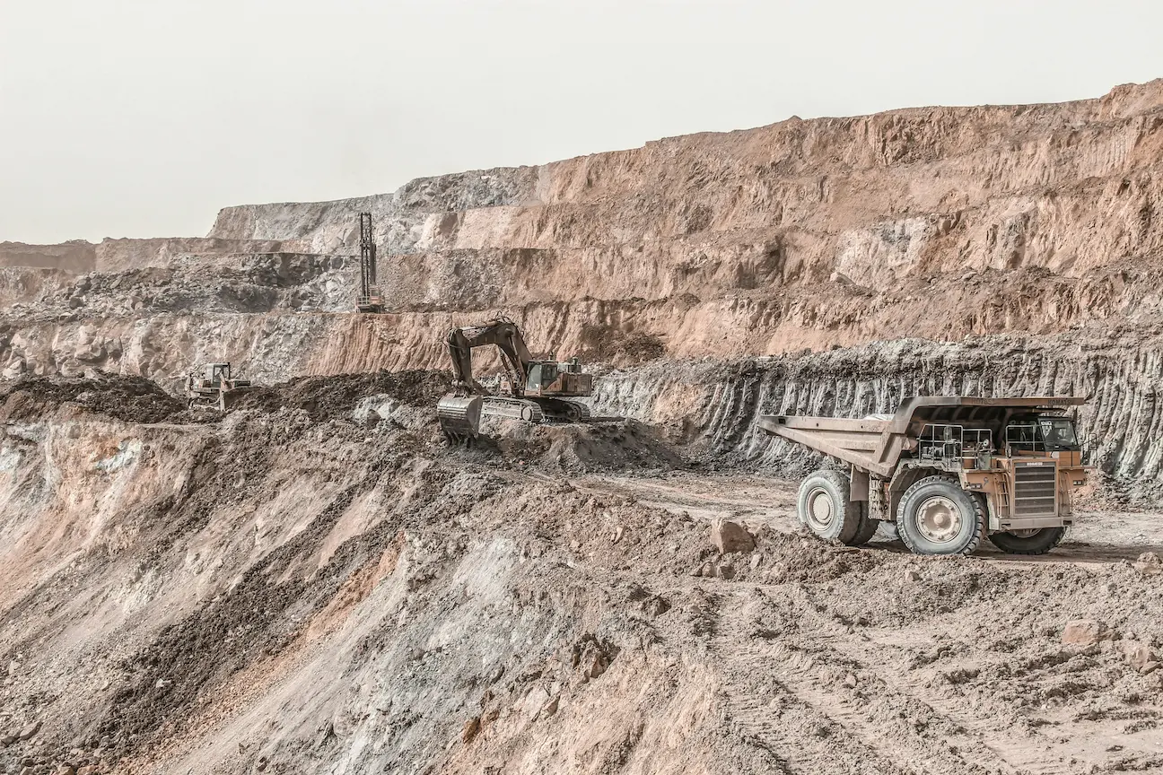
Preliminary fieldwork begins. Geochemical sampling, geophysical surveys, and mapping help narrow the target area. Spending increases significantly at this stage.
Target Testing
Drilling begins. This is where exploration budgets are most heavily committed. Errors made without early screening are extremely costly to correct here.
Resource Definition
Detailed drilling and sampling to define a mineral resource. Full technical and economic feasibility studies follow. By this stage, substantial capital has been committed.
The decision to move from G1 to G2 is where many exploration projects go wrong — not because the geology is bad, but because the team moved forward without enough contextual information about the site.
Why G1 Stage Screening Matters
At G1, you are making a binary decision: is this site worth spending more money on?
To make that decision well, you need site context — not assumptions. What are the ground conditions? What are the known geological formations in the area? What environmental and geohazard risks exist? What does the hydrogeology look like?
Teams have committed to infrastructure in the wrong locations, routed access roads through geologically unstable ground, and placed critical equipment in areas that required costly demolition and relocation — all because early-stage ground context was not established before fieldwork began. In one case in the Yukon, assumptions made without proper site context led to infrastructure being positioned incorrectly, a mistake that proved significantly expensive to rectify once actual ground conditions became apparent.
Railway lines, processing facilities, and access infrastructure placed at the wrong location due to missed geological context are not abstract risks. They are real, recurring, and preventable — and most of the information needed to avoid them is available before a single field visit.
What Site Information Do You Need at G1 Stage?
Before committing exploration budget beyond G1, you need answers to the following:
Regional and Site Geology
What rock types and geological formations are present? What is the geological history of the area? Understanding the stratigraphy helps assess mineralisation potential and guides where to focus attention in subsequent stages.
Hydrogeology and Groundwater Conditions
Where is the water table likely to sit? What are the seasonal variations? Groundwater conditions affect drilling logistics, infrastructure placement, and environmental risk — all of which have direct cost implications.
Soil and Ground Conditions
What surface and near-surface materials are present? What are the likely bearing capacities? This information is critical for deciding where infrastructure can safely be placed and what ground preparation may be required.
Geohazards and Environmental Risks
Is the site susceptible to liquefaction, slope instability, erosion, or flooding? Are there expansive soils? What seismic hazard exists in the region? Identifying these risks at G1 stage prevents costly surprises once field budgets are committed.
Site History and Land Use
Has the area seen prior industrial activity? Is there any known contamination? Historical land use can significantly affect both environmental risk and the regulatory approvals required to operate.
Preliminary Recommendations for Further Investigation
What specific investigations — boreholes, geophysical surveys, CPT testing — are likely to be required at G2 and beyond? Knowing this early helps with budget planning and procurement lead times.
How Long Does This Take Without the Right Tools?
Gathering this information manually is a significant undertaking. A geologist or project manager pulling together regional geological maps, hydrogeological data, geohazard assessments, and ground condition summaries from public sources can expect to spend several weeks compiling a coherent picture.
For junior mining companies and exploration teams working across multiple targets simultaneously, this bottleneck is a real constraint. Time spent on desk research at G1 is time not spent on the decisions that move projects forward.
Where AIGEOREPORT Fits
AIGEOREPORT was built specifically for this problem. By entering site coordinates and the purpose of the assessment, exploration professionals can generate a preliminary site context report — covering geology, hydrogeology, ground conditions, geohazards, environmental risks, and preliminary investigation recommendations — in minutes rather than weeks.
The report is delivered as a fully editable .docx file, allowing teams to review, amend, and build on the output as part of their own workflow.
An AIGEOREPORT output is a desk study — a planning-stage document based on publicly available geological and geotechnical data. It is not a substitute for a detailed site investigation, and it should always be reviewed by a qualified geologist or geotechnical engineer before informing any design or construction decision. What it provides is the site context needed to make a faster, better-informed G1 decision — before committing the budget that G2 and beyond requires.
At the G1 stage, the question is not whether a site investigation will eventually be needed. It will. The question is whether this site is worth getting that far — and that decision should not be made without context.
Summary
The stages of mineral exploration follow a logical progression from low-cost screening to high-cost investigation. G1 is where the most important early decisions are made, and where insufficient site context causes the most preventable and expensive mistakes.
Getting the right geological, hydrogeological, and geohazard information before committing field budget is not optional — it is the foundation of responsible exploration planning. The question is how quickly and cost-effectively you can get it.
Is this site worth committing exploration budget to?
Generate a preliminary geological, geotechnical and environmental site context report for any exploration target. Understand the ground context before fieldwork begins — for any site worldwide. From $19.
Generate an Exploration Screening Report →